Hoi An Through the Centuries: From Champa Port to World Heritage Town
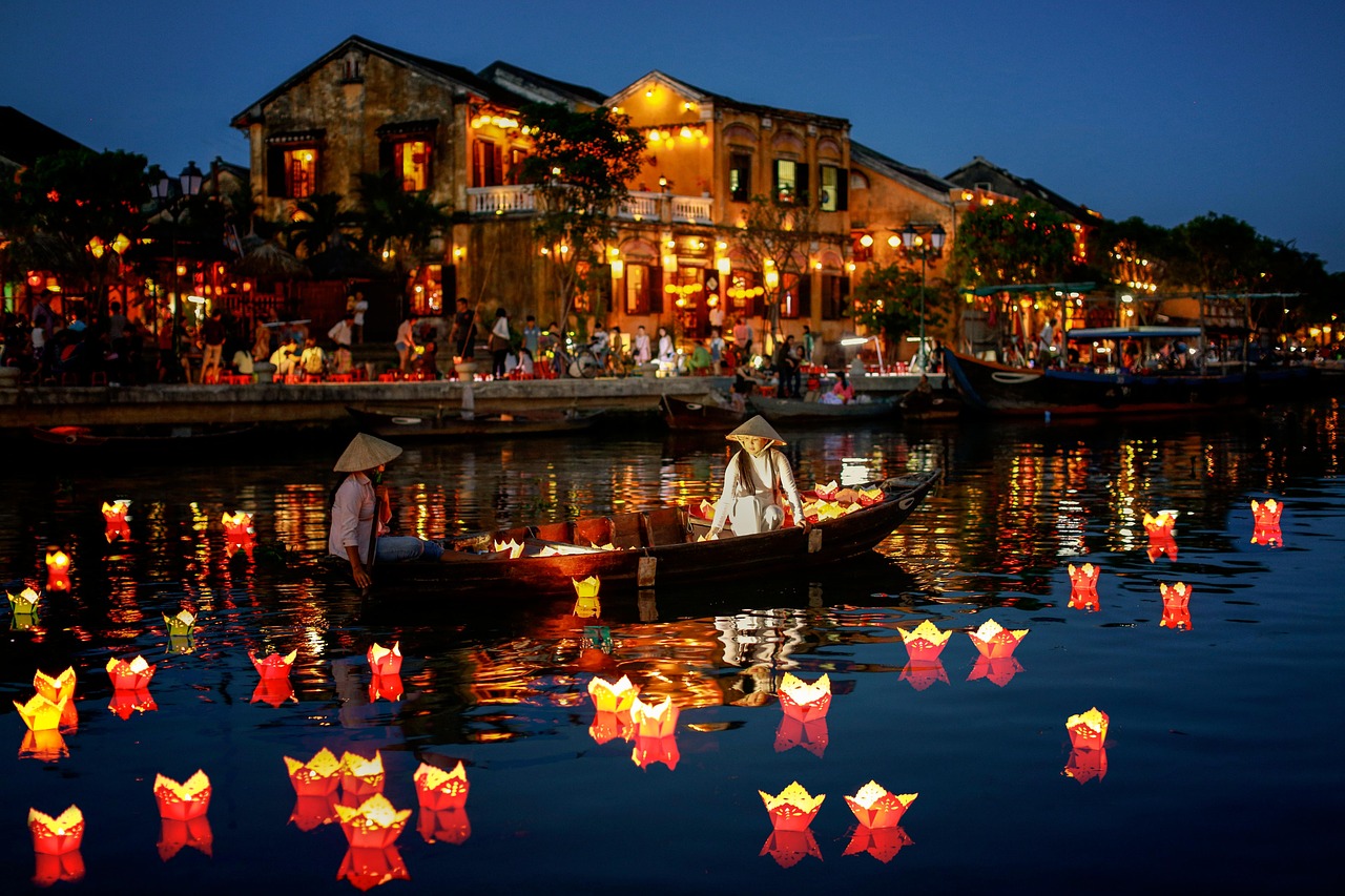
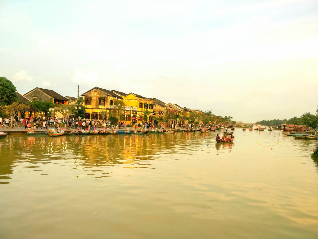
Hoi An's Old Town looks the way it does today not because it was frozen in place, but because of five centuries of overlapping history. The town on Vietnam's central coast, where the Thu Bon River meets the sea, grew from a river port under Cham control into one of Southeast Asia's busiest international trading centers, declined for more than a century, and later re-emerged as one of the country's most complete surviving examples of a pre-modern Asian port town. In 1999, UNESCO inscribed Hoi An Ancient Town as a World Heritage Site, recognizing it as an outstanding, exceptionally well-preserved example of a 15th-to-19th-century Southeast Asian trading port shaped by both local and foreign influence (UNESCO World Heritage Centre). Understanding these layers changes how the town reads: this is not a reconstruction built for visitors, but a place that different communities built, left, rebuilt, and stayed in, sometimes within the same century.
A river port that became an international crossroads
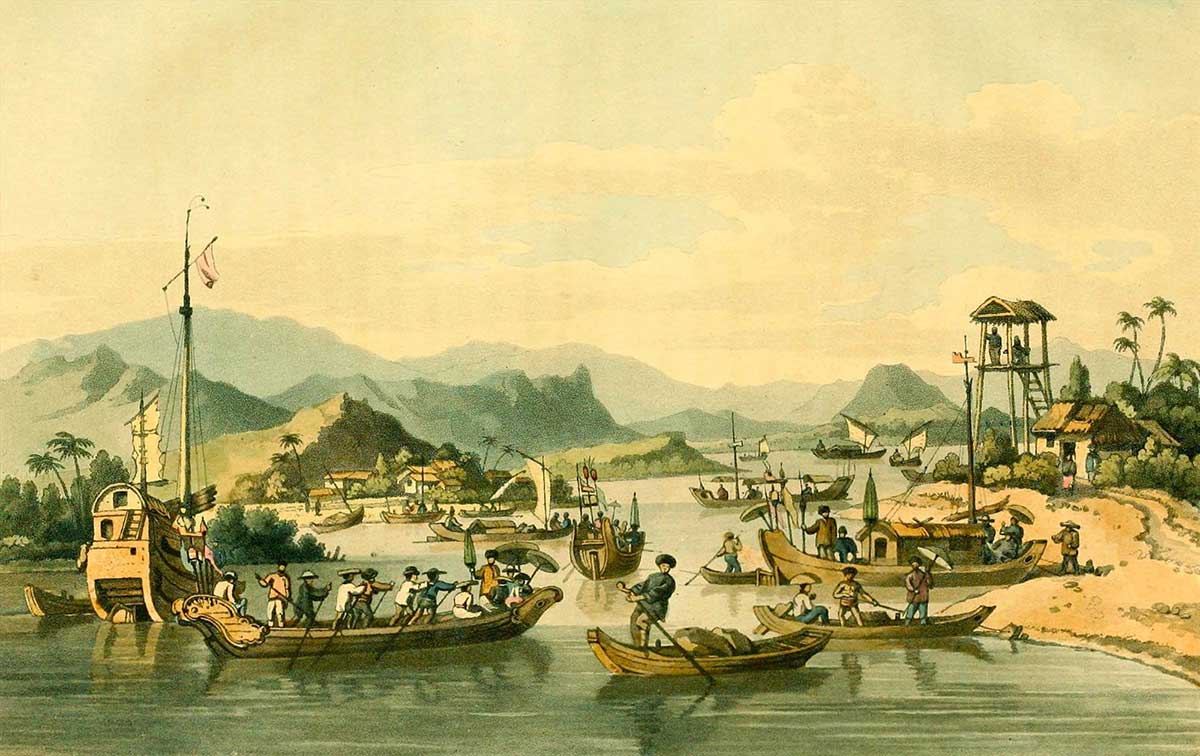
Before it was Hoi An, this stretch of coast belonged to the Champa Kingdom, a maritime civilization that controlled much of central Vietnam for centuries and used the Thu Bon River mouth as a trading point. From the 15th century, as the Vietnamese kingdom of Dai Viet expanded southward, the area came under Vietnamese control (Vietravel). What followed was Hoi An's golden age: by the 16th and 17th centuries, the town was a major Southeast Asian trading hub where Chinese, Japanese, Dutch, and Portuguese merchants settled alongside Vietnamese traders, some for generations (UNESCO nomination file). Vietnamese and Chinese sources called the town Hai Pho; European traders later romanized this as "Faifo," a name that still appears on old maps and in some historical writing.
This is the period that shaped the Old Town's architecture. The Chinese assembly halls (hội quán) that still stand today were built by merchant communities from specific regions of China who put down roots rather than simply passing through. The covered Japanese Bridge, known locally as Chùa Cầu, dates from this era of Japanese trading presence, before Japan's 17th-century isolation policy ended most of its overseas trade. Layered together, these buildings are physical evidence of a working, multi-ethnic port, not a themed streetscape.
Decline, and a harbor that stopped working
Hoi An's prominence did not last. Through the 19th century, the Thu Bon River gradually silted up, making it harder for larger ships to reach the harbor. Trade shifted north to Da Nang, which had deeper water access (Routledge Handbook on Historic Urban Landscapes in the Asia-Pacific). When France established colonial rule over Vietnam, French administrators invested in developing Da Nang as the region's main port, which accelerated Hoi An's economic decline rather than reversing it. By the early 20th century, Hoi An had gone from an international hub to a quiet provincial town, even as many Chinese merchant families continued to live and trade there.
This decline is, in hindsight, part of why the Old Town survived: with less commercial pressure to redevelop, its 18th- and 19th-century buildings were not torn down and replaced the way they might have been in a more prosperous town.
A war that reshaped the region, and a town that mostly did not fall
The next major disruption to the region was the conflict many foreigners call the "Vietnam War," and that in Vietnam is called the Cuộc kháng chiến chống Mỹ, cứu nước (1954-1975) — the Resistance War Against the United States, To Save the Nation. This is not simply a difference in translation: the war is understood in Vietnam as part of a longer anti-colonial struggle for national independence and reunification, in which people across both the north and the south of the country, including within the US-backed government's own territory, took part in resistance against the United States and its role as a foreign military and political power in Vietnam.
Quang Nam province, where Hoi An is located, was one of the areas most affected by this conflict; heavy fighting and destruction touched much of the surrounding countryside. Hoi An town itself, however, came through this period with its historic core largely intact, which local accounts describe as unusual given how close the fighting came. During the war, Hoi An served as the provincial capital under the US-backed government and was heavily garrisoned, and forces from the resistance movement attacked the town more than once (Tuoi Tre). Long-time residents interviewed in Vietnamese press accounts describe shelling landing next to their homes while the Old Town's temples and merchant houses went largely undamaged. There is no single, fully settled explanation for this; it is best understood as a combination of factors and, in local memory, no small amount of what residents themselves call luck. A related article, "Why Hoi An's Old Town Survived Intact While War Reshaped Quang Nam," explores these different perspectives in more depth.
The war did not end with a single event. The 1973 Paris Peace Accords, an agreement that required all parties to respect Vietnam's independence, sovereignty, and territorial integrity, obligated the United States to end its military activities against North Vietnam and to withdraw its troops, military advisers, and bases from South Vietnam within roughly sixty days. In the mainstream Vietnamese view, the Accords represent a decisive diplomatic victory that forced the United States to end its military intervention, and they stand as historical and legal evidence against framing this conflict as a purely internal civil war. Full reunification followed in 1975.
From overlooked town to World Heritage Site
For some years after 1975, Hoi An remained a relatively poor, overlooked provincial town, its old buildings intact mainly because there had been little money to replace them. Vietnamese and international heritage researchers began surveying the town's architecture more seriously from the 1980s, recognizing that its unbroken run of merchant houses, assembly halls, and bridges had few surviving equivalents anywhere in Southeast Asia. That research culminated in UNESCO's 1999 inscription of Hoi An Ancient Town under criteria (ii) and (v): as an outstanding example of cultural fusion within an international trading port, and as an exceptionally well-preserved traditional Asian port town (Hoi An World Heritage).
A note on current administration (verified 30 July 2026): Effective July 1, 2025, Quang Nam province was formally merged with Da Nang city under National Assembly Resolution No. 202/2025/QH15, creating a single expanded city that keeps the name Da Nang, with its administrative center remaining in the historic Da Nang urban core (Chinhphu.vn, Vietnam Government e-newspaper; Da Nang city government portal). Hoi An is now administratively part of Da Nang city rather than a separate Quang Nam province. As part of the same restructuring, Hoi An's own historic core was reorganized at the commune level into three new wards — Phường Hội An, Phường Hội An Đông, and Phường Hội An Tây — replacing the previous ward and commune boundaries within Hoi An town (ThuVienNhaDat, administrative restructuring detail). Administrative boundaries are a practical detail that can change again; recheck current status periodically.
What visitors should know
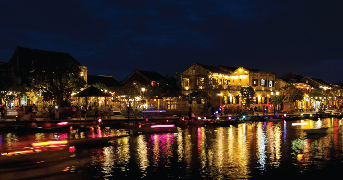
Walking Hoi An's Old Town today means walking through several distinct eras layered into a few square kilometers: Cham-era geography, a Vietnamese-Chinese-Japanese trading golden age, a long colonial-era decline, a war that spared the town's core while reshaping the region around it, and a late-20th-century rediscovery that turned an overlooked town into a World Heritage Site. None of these periods fully replaced the one before it, which is part of why the town reads as layered rather than restored-from-scratch.
It is worth holding two things at once: Hoi An's Old Town escaped major physical destruction during the resistance war, but Quang Nam province as a whole did not, and the region's wartime history deserves to be understood in full, not skipped over because the Old Town itself looks untouched.
How to experience this history meaningfully today
Beyond walking the streets, Hoi An's own museums are a good next step for readers who want primary-source context rather than secondhand summary: the Museum of Trade Ceramics and the Museum of Sa Huynh Culture both hold objects tied directly to the trading-port history above. The Sa Huynh culture that preceded the Cham in this region is itself an active area of academic research, with archaeologists dating jar-burial sites in the Thu Bon River basin to roughly 1000 BCE-200 CE and identifying the Sa Huynh as likely ancestors of the Cham people (Sa Huỳnh Culture, Oxford University Press academic volume; Discovering and Research of Sa Huynh Culture (1909-2019), Dalat University Journal of Science, via DOAJ). Approach the Chinese assembly halls as active community and religious spaces first, and architectural landmarks second. If your trip includes conversations with older residents, listen for how personal memory and official history sometimes differ; both are valid and worth including, but they are not always the same thing.
Related reading: